We arrived home on Saturday, October 15, 2011. We were delayed for four days at Savannah due to high winds and rain, then made good time after departing the Isle of Hope Marina on Tuesday, October 11th.
Here's the itinerary since arriving in Oriental, North Carolina, on September 30th.
We stayed in Oriental, ICW mile180.8, an extra day until October 2nd, 2011, waiting for higher-than-comfortable wind to lay down on Bogue Sound which runs about 25 miles from Beaufort/Morehead City to Swansboro. After departing on October 2nd we stopped for fuel at Jarretts Bay Boat Works on the way to Morehead City, then continued on through Bogue Sound (the wind was decent) to Mile Hammock Bay at Camp Lejeune, North Carolina, where we anchored for the night.
The next day we were underway by 0650 and after almost 10 hours underway (45 minutes or so waiting for various bridges to open) we had gone down Cape Fear River and were tied to the free dock at the Provision Company at Southport, North Carolina. Remind us never to stop there again - the food is very poor - we can't figure out why anyone comes from any distance to eat there!
On October 4th we departed at 0710 and anchored for the night in the Wacama River anchorage at ICW mile 375, just off the Wacama River.
Over the next several daysWe stopped for the night at Graham Creek (north of Charleston) at mile 439, then at the Seabrook anchorage at Fenwick Island at mile 512, and on the night of October 7th at the Isle of Hope Marina just east of Savannah, Georgia, at mile 584. Druing the day on the 7th we read repeated weather forecasts, all predicting stormy weather for the next several days and boats were discussing what they were going to do while the storm passed. Since we had stopped at the marina in order to get fuel and spend the night, we arranged to stay several more days while the storm passed. By the end of the next day (October 8th) the marina was totally full and had boats tied to the fuel dock (a spot normally kept open for boats needing to get fuel). For the next three days we had high winds and torrential rain (one boat clocked some gusts at 55 mph).
By October 10th the wind and rain had subsided, and the forecast was decent for the next day, so on Tuesday, the 11th of October we departed at 0920 (had to wait for the tidal current to subside a bit) and started laying tracks to get home as soon as we could. We anchored that night in the North River at mile 652, then on October 12th we crossed into Florida and a few hours later anchored at South Amelia River at mile 725.8.
October 13th took us through St. Augustine and then because there are no good anchorages for a number of miles we stopped for the night at the newly opened marina at Marineland. What a nice facility it is! We've gone by there by boat and car for a number of years and always wondered why no one had opened a marina in the nicely protected basin just off the ICW. Well, this August someone did, and it is a great, if remote, facility. Just across the road is the dolphin research center which reopened 4-5 years ago after being abandoned for a few years. The Georgia Aquarium is involved in the education center, and kayak tours of the surrounding area are operating out of the marina. Right across route A1A is a series of beautiful beaches. Nice place to stop!
Statistics for the trip at this point:
676hours 15 minutes underway; 3848.5 nautical miles/4422.2 statute miles
We departed Marineland Marina as soon as we could see the surface of the water on October 14th at 0700 and cruised the longest distance we made on any day of our trip: 89.9 statute miles in 12 hours and 30 minutes. We anchored after sunset just south of the NASA Causeway Bridge south of Titusville, Florida, at mile 885.
On Friday, October 15, 2011 we were underway at a leisurely 0810 and at 1210 we were back in our slip at Manatee Cove Marina at Patrick Air Force Base.
Trip: 702H45M 4013.6NM/4611.9SM based on the onboard GPS.
Total engine hours: 730
Fuel consumed (approximately): 1100 gallons
These past six months have been great and the cruise was fantastic.
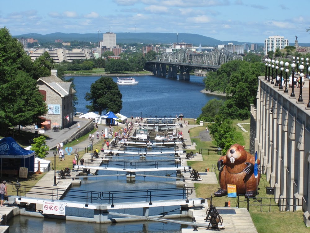
Our northern cruise in 2011 to the Erie Canal, Lake Ontario and the Thousand Islands, the Rideau Canal, Ottawa, Montreal, Sorel and Lake Champlain.
Monday, October 17, 2011
Saturday, October 1, 2011
Oriental, North Carolina - October 1, 2011
September 23, 2011 Baltimore. We met Jennifer for dinner and enjoyed hearing of her experiences teaching in the Baltimore City school system. She's teaching geometry to 10th & 11th graders through a program that encouraged college grads from other disciplines to enter the teaching profession and provided concentrated training throughout the summer to prepare them for jobs in inner-city schools. She says it is more difficult than being a Division Officer on a Navy ship!
We departed Baltimore at 0655 on September 24th and headed straight down Chesapeake Bay after transiting the Baltimore channel to the Bay Bridge north of Annapolis. We arrived in Solomons and took a mooring at Zahniser's Marina at 1825, before sunset.
We had contemplated traveling all the way to Hampton, Virginia (just north of Norfolk) in one day so that the next morning Judy could get to a pharmacy to have some photos taken for a visa (more about that later), but it is a long trip and if the tidal current isn't just right, we'd get there after dark (something we prefer not to do). So we cut the distance in half and made it a two day trip. On the 25th of September (Sunday) we cast off the mooring at 0815 and anchored in Jackson Creek off the Piankatank River at 1705 for a day of 8 hours and 50 minutes. On Monday the 26th we were underway at 0805 and were at the Hampton Public Dock at 1515. Judy immediately went in search of a place that could take some passport-type photos for the visa she needs, but the best she could find was a small drug store where she could print some photos from pictures we had taken earlier. There wasn't time to get to a post office, so that was delayed for another stop.
One of the reasons we're hurrying back to Florida is that Judy was given the opportunity to travel to Tanzania, Africa, as part of a team teaching an instructor course for the American Heart Association. She is required to get a visa plus some immunizations prior to her departure on October 22nd, so the visa application had to get sent to the Tanzanian embassy in Washington, DC, as soon as possible, and passport-type photos were required to accompany the application.
On Tuesday the 27th we departed Hampton at 0715 heading for the Dismal Swamp Canal. This leg took us past the U.S. Navy base at Norfolk with it's long rows of every type of warship imaginable, then through the commercial areas with their container ships and loading facilities, through downtown Norfolk and the USS Wisconsin display, and finally through the industrial areas south of Norfolk in the area of Chesapeake, Virginia.
After the Gilmerton Bridge we departed the "standard" ICW and headed toward the Dismal Swamp Canal and the "secondary" ICW route into Albermarle Sound. We had only a short wait for the lock at Deep Creek, and after locking through stopped at a small dock for a short time to get a few grocery items and look for a post office where Judy's visa application could be mailed. The post office was 4-5 miles away, too far to walk, so we continued on through the 22 mile stretch of the canal between locks to South Mills bridge where we missed the 1600 opening by 15 minutes. We tied up to the bridge's approach wall for the night, and found a post office about two blocks away where Judy placed her visa application in the outgoing mail drop!
The next morning (Wednesday, Sept 28th) we went through the South Mills bridge and lock and were in the Pasquotank River heading for Elizabeth City and Albermarle Sound by 0905. The river current was favorable all the way past Elizabeth City (about 20 miles from the South Mills Lock) and into Albermarle Sound. Weather was good with light wind from the south, so we continued through the sound and into the Alligator River. Shortly after passing through the Alligator River bridge, about 4 miles from the mouth of the river, the wind speed started to increase slightly, the waves started showing a few white-caps, and clouds started building in the west. After checking several weather sources and radar images online it was apparent that we were in for some thunderstorms and heavy rain, and NOAA started broadcasting severe weather alerts for the area to the north of us. As we approached the part of the river that turns west, the rain started and we decided we would not turn to the west and head toward some of the storms, but would find a place to anchor on the western shore which would provide some protection from the westerly winds and the rain which began to rapidly increase. Judy prepared the anchor to deploy without her assistance and we closed up the topside steering area to provide protection from the wind and rain. We used the GPS and radar to guide us into a good anchorage just south of the ICW, and lowered the anchor with the bow pointing into the wind. We watched the radar and GPS for 30 minutes or so as the wind and rain continued and then gradually subsided. In another half an hour all was quiet and the storms had passed out of the area. We had a quiet dinner and everything was calm for the rest of the night.
Our travel for the next two days (Thursday and Friday) was dictated by Judy's need to complete a Webinar presented by her Legal Nurse Consulting organization in Orlando (and which she had worked on during the summer). We originally had planned to travel as far as the Pungo River the next day and anchor near a marina in Bellhaven which had a WiFi that we could pay for so that Judy could be assured of a good internet connection. That would have resulted in one short cruising day on Thursday and staying anchored near the WiFi for the day on Friday.
On Thursday, September 29th, we suddenly realized that we could get as far as Oriental, North Carolina in one long day and find an available WiFi there, so at 0850 we got underway from the Alligator River and arrived in Oriental, anchoring in Smith Creek at 1920 just as twilight faded. The next morning, Friday, we moved two miles to the Oriental Marina which had assured Judy that their WiFi was working well where we spent the remainder of the day and Judy completed the Webinar. As we were eating dinner that evening at the restaurant associated with the marina we became aware of a major change in the weather forecast which was for wind up to 25 mph from the northwest the following day for the area west of Beaufort, North Carolina, where we would need to travel. It is a stretch of water without much protection, and any wind in excess of 15 mph can create rough conditions. Temperatures were also forecast to drop into the 60s during the day. Consequently, we decided to stay another day in Oriental and the easiest place to stay was to remain at the Oriental Marina. We have walked to the only grocery store to buy fresh fruit and a few other items and now beef stew is simmering in the crockpot filling the boat with mouth-watering aroma!
Tomorrow the wind is forecast to subside a bit, so we'll depart Oriental and hope to get to Mile Hammock Bay at Camp LeJeune Marine Corps base past Swansboro, North Carolina. We'll stop for about 140 gallons of fuel on the way before we get to Beaufort/Morehead City.
We departed Baltimore at 0655 on September 24th and headed straight down Chesapeake Bay after transiting the Baltimore channel to the Bay Bridge north of Annapolis. We arrived in Solomons and took a mooring at Zahniser's Marina at 1825, before sunset.
We had contemplated traveling all the way to Hampton, Virginia (just north of Norfolk) in one day so that the next morning Judy could get to a pharmacy to have some photos taken for a visa (more about that later), but it is a long trip and if the tidal current isn't just right, we'd get there after dark (something we prefer not to do). So we cut the distance in half and made it a two day trip. On the 25th of September (Sunday) we cast off the mooring at 0815 and anchored in Jackson Creek off the Piankatank River at 1705 for a day of 8 hours and 50 minutes. On Monday the 26th we were underway at 0805 and were at the Hampton Public Dock at 1515. Judy immediately went in search of a place that could take some passport-type photos for the visa she needs, but the best she could find was a small drug store where she could print some photos from pictures we had taken earlier. There wasn't time to get to a post office, so that was delayed for another stop.
One of the reasons we're hurrying back to Florida is that Judy was given the opportunity to travel to Tanzania, Africa, as part of a team teaching an instructor course for the American Heart Association. She is required to get a visa plus some immunizations prior to her departure on October 22nd, so the visa application had to get sent to the Tanzanian embassy in Washington, DC, as soon as possible, and passport-type photos were required to accompany the application.
 |
| HUGE dredge working on the channel at Norfol |
 |
| Entering lock at Deep Creek, Dismal Swamp Canal |
 | |
| Mileage from the lock |
After the Gilmerton Bridge we departed the "standard" ICW and headed toward the Dismal Swamp Canal and the "secondary" ICW route into Albermarle Sound. We had only a short wait for the lock at Deep Creek, and after locking through stopped at a small dock for a short time to get a few grocery items and look for a post office where Judy's visa application could be mailed. The post office was 4-5 miles away, too far to walk, so we continued on through the 22 mile stretch of the canal between locks to South Mills bridge where we missed the 1600 opening by 15 minutes. We tied up to the bridge's approach wall for the night, and found a post office about two blocks away where Judy placed her visa application in the outgoing mail drop!
 |
| Waiting from bridge at South Mills |
 |
| South Mills Lock entry into the Pasquotank River |
Our travel for the next two days (Thursday and Friday) was dictated by Judy's need to complete a Webinar presented by her Legal Nurse Consulting organization in Orlando (and which she had worked on during the summer). We originally had planned to travel as far as the Pungo River the next day and anchor near a marina in Bellhaven which had a WiFi that we could pay for so that Judy could be assured of a good internet connection. That would have resulted in one short cruising day on Thursday and staying anchored near the WiFi for the day on Friday.
On Thursday, September 29th, we suddenly realized that we could get as far as Oriental, North Carolina in one long day and find an available WiFi there, so at 0850 we got underway from the Alligator River and arrived in Oriental, anchoring in Smith Creek at 1920 just as twilight faded. The next morning, Friday, we moved two miles to the Oriental Marina which had assured Judy that their WiFi was working well where we spent the remainder of the day and Judy completed the Webinar. As we were eating dinner that evening at the restaurant associated with the marina we became aware of a major change in the weather forecast which was for wind up to 25 mph from the northwest the following day for the area west of Beaufort, North Carolina, where we would need to travel. It is a stretch of water without much protection, and any wind in excess of 15 mph can create rough conditions. Temperatures were also forecast to drop into the 60s during the day. Consequently, we decided to stay another day in Oriental and the easiest place to stay was to remain at the Oriental Marina. We have walked to the only grocery store to buy fresh fruit and a few other items and now beef stew is simmering in the crockpot filling the boat with mouth-watering aroma!
Tomorrow the wind is forecast to subside a bit, so we'll depart Oriental and hope to get to Mile Hammock Bay at Camp LeJeune Marine Corps base past Swansboro, North Carolina. We'll stop for about 140 gallons of fuel on the way before we get to Beaufort/Morehead City.
Subscribe to:
Posts (Atom)